


Listen to the article
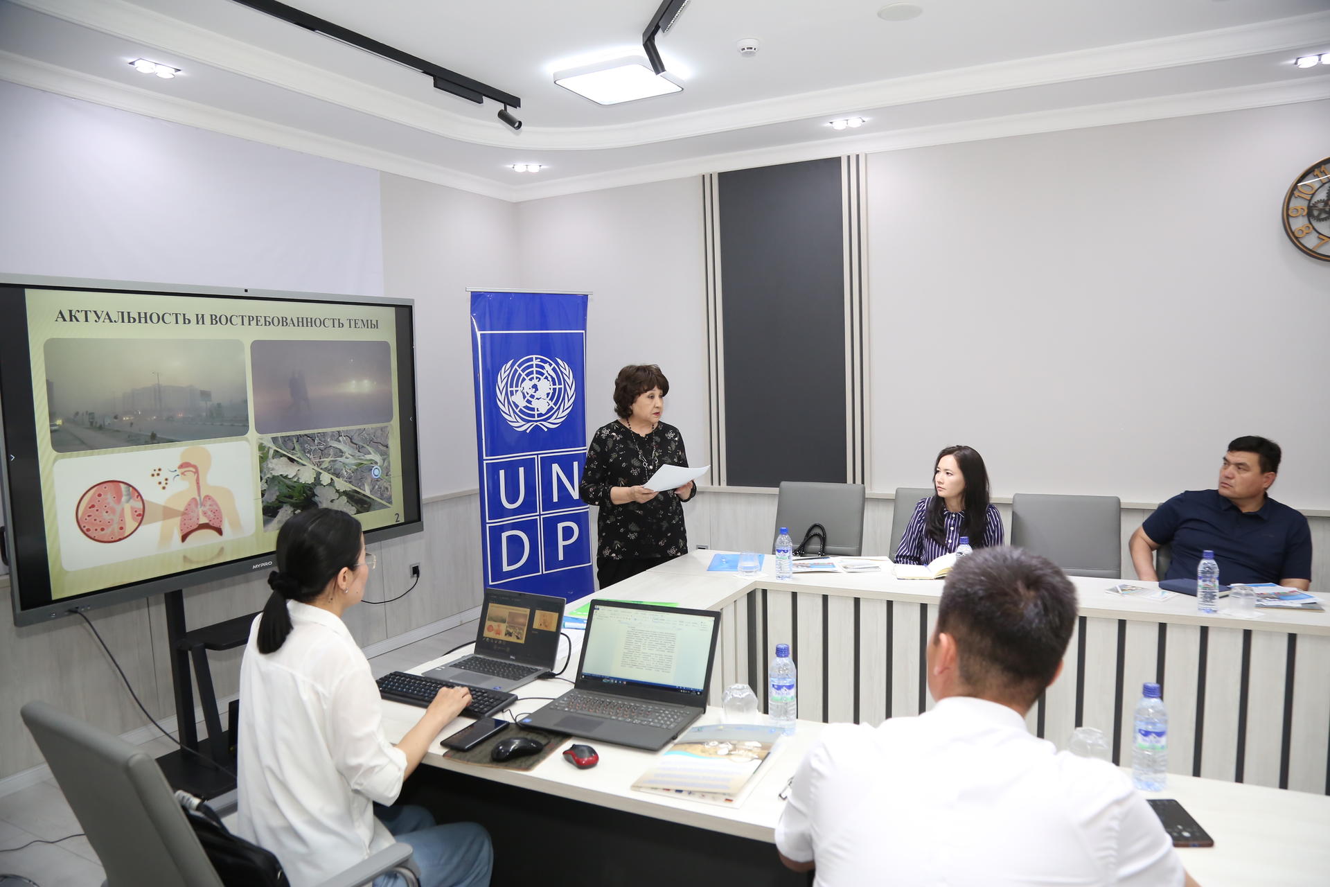
A large-scale study aimed at combating dust storms in the Southern Aral Sea region was completed in Nukus on 7 May 2025, producing two new scientific models for tracking dust migration and delivering the first digital calculation of how forest plantations on the drained Aral Sea bed reduce the removal of salt and fine particles into the atmosphere.
The work was carried out under a joint programme of the United Nations Development Programme (UNDP) and the Food and Agriculture Organization (FAO) titled Building knowledge and skills of local partners and communities to address environmental insecurities through innovative air, land, and water management solutions in the Aral Sea region. The study’s completion marks a significant step in translating scientific research into practical tools for environmental governance in one of the country’s most ecologically stressed areas.
A Region Under Persistent Pressure
The Southern Aral Sea region is regularly affected by intensifying dust storms generated by four desert systems: the Kyzylkum, the Karakum, the Ustyurt plateau, and the Aralkum — the newly formed desert that has emerged on the exposed bed of the former Aral Sea. These storms carry salts and fine particles that degrade public health, damage agricultural land, and disrupt local ecosystems. The scale of the problem has drawn international attention: Uzbekistan raised the issue at the 21st session of the United Nations Committee to Combat Desertification (CRIC-21), calling for stronger measures to reduce the storms’ negative effects.
At the national level, Presidential Decree No. PP-338, signed on 24 September 2024, set out priority measures to combat dust storms and improve atmospheric air quality, providing a formal policy framework within which the study’s findings are expected to be applied.
Two New Analytical Models
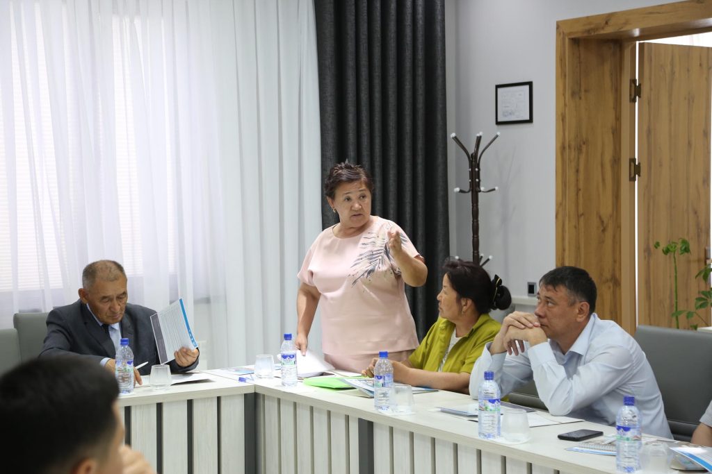
Researchers developed two distinct modelling tools during the study. The Long-term Exposure Model (LME) estimates dust concentrations in the air over defined periods — such as a month — and is designed to identify geographic areas at highest risk from sustained dust exposure. The Atmospheric Dust Dynamics Model (MDA) takes a longer view, tracking changes in atmospheric dust levels over time to identify stable trends rather than episodic events.
Together, the two models are intended to give environmental planners and public health authorities a more granular picture of where dust concentrations are highest and how the overall situation is evolving — information that has previously been difficult to obtain with precision for this region.
Forest Plantations Quantified for the First Time

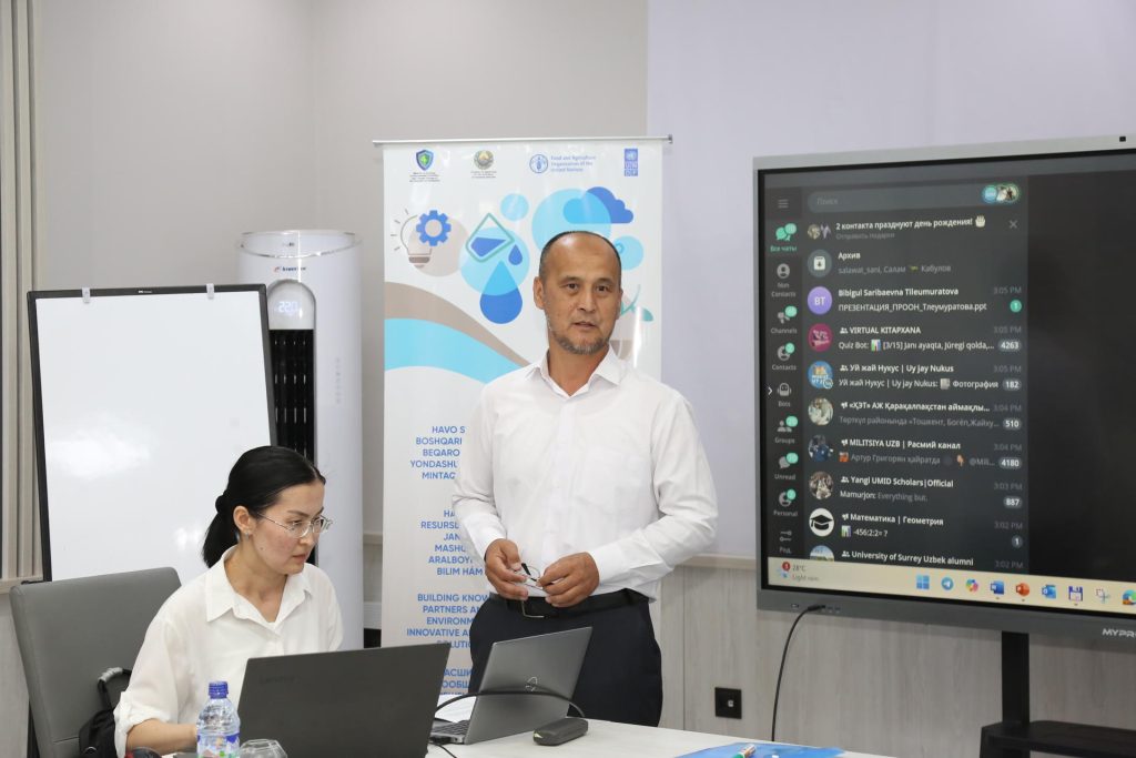
A separate and notable output of the study is the first digital quantification of the role played by forest plantations on the drained Aral Sea bed in reducing salt removal. The model, built in the MS Access environment specifically for Aral Sea data analysis, calculates the effectiveness of vegetation cover in holding down salt and particles — expressed in millions of tons per year — depending on the area and density of plantings. According to the UNDP press release, this is the first time such effectiveness has been calculated in numerical terms, giving planners a concrete basis for decisions about where and how densely to plant.
The specific figures produced by the model — the actual millions-of-tons estimates for different planting scenarios — were not published in the available materials, but the methodology itself represents a new tool for assessing the return on reforestation investments in the region.
Intended Applications
The study’s authors identify four main areas where the results can be applied: developing targeted environmental protection measures; planning an atmospheric monitoring system; incorporating dust dynamics into national and regional climate strategies; and protecting public health, particularly in the most vulnerable communities of the Aral Sea zone.
The project is presented by UNDP as a demonstration of how integrating scientific data into government decision-making can improve environmental outcomes in areas where international organisations and national authorities are working in parallel. The findings are expected to inform both the implementation of the September 2024 presidential decree and Uzbekistan’s broader commitments under international desertification frameworks.